
After about 2.5 hours into the walk i thought id look at the map and noticed the walk was actually 5:20h. Which didn't matter anyway because i'd gone completely the wrong way. Luckily i'd brought that water but oh wait it's leaking, that's why someone must have chucked it.
Saw this cool lizard.
 |
| Another spectacular wildlife photo. |
I walked down a field and it looked like i had to go through someones property and there were people about. I pretended i was lost. None of them spoke English so i did my best to communicate. I was surprised at how much i understood. I showed them the map of the walk i was supposed to be on. Which was obviously useless. They basically said i have to walk round the mountain and even filled up my water. I was quite surprised at how friendly and helpful they were. Maybe it was so i would pretend i never saw the Syrian children washing their cars, maybe they're just nice, who knows.
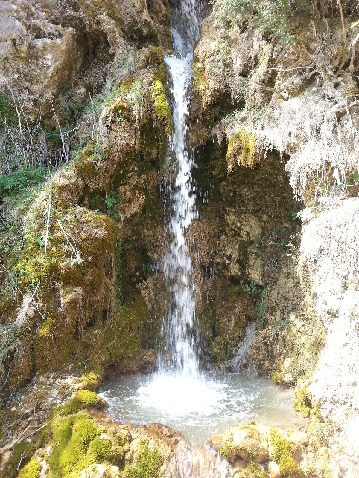
I walked through a huge canyon, it must have a name. Made Cheddar gorge look like a crack in the pavement. There was this unusual waterfall, kinda looks artificial, made to look natural.
When i was nearly back i saw a great example of road surface diversity in France. This is it, perfectly smooth or rocky track. There is no in between.

No comments:
Post a Comment